
Arapeen Trail System
The Arapeen OHV Trail System covers the Wasatch Plateau above Sanpete Valley in the Manti-La Sal National Forest. It has more than 350 miles of designated trail, and Sanpete County’s trail map counts more than 600 miles once you add the forest roads. The high point is 10,897 feet at High Top, along Skyline Drive.


Favorite rides
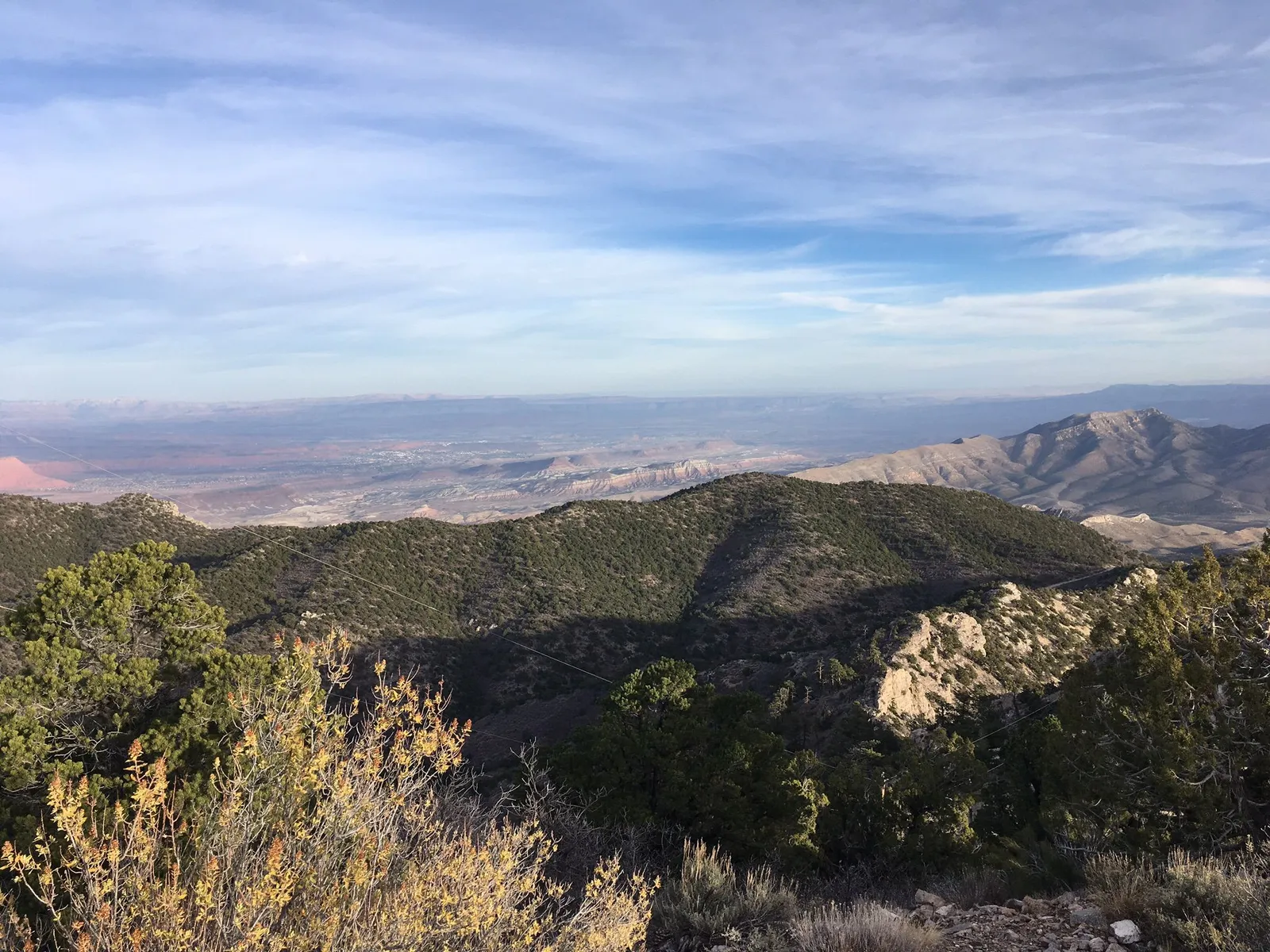
- Skyline Drive. The backbone of the system, a high road along the crest of the Wasatch Plateau that Visit Utah says runs about 100 miles. From up top you can see the whole valley.
- Skyline to Potter’s Ponds. A loop of about 34 miles out of Fairview, past Huntington and Miller’s Flat reservoirs, topping out above 10,600 feet.
- Fred’s Flat. A shorter loop out of Ephraim, about 16 miles, that still climbs to the top of the plateau.
- Patton Trail. A loop out of Manti that passes Loggers Fork Reservoir below Elks Knoll and comes back down past Yearns Reservoir.
- Six Mile Canyon. From Palisade State Park near Sterling, up Six Mile Canyon to Skyline Drive, about 40 miles round trip. The park has an OHV trail information kiosk at its Gold Hill group site.
- Beaver Creek. At the south end, a loop from Mayfield up Beaver Creek to Skyline Drive, with mountain lakes along the way, coming back down 12 Mile Canyon.
Mileages are approximate, from local trail guides and Utah State Parks. The Arapeen also connects with the Paiute ATV Trail and the Great Western Trail, so you can link long multi-day rides.
ATV or side-by-side?
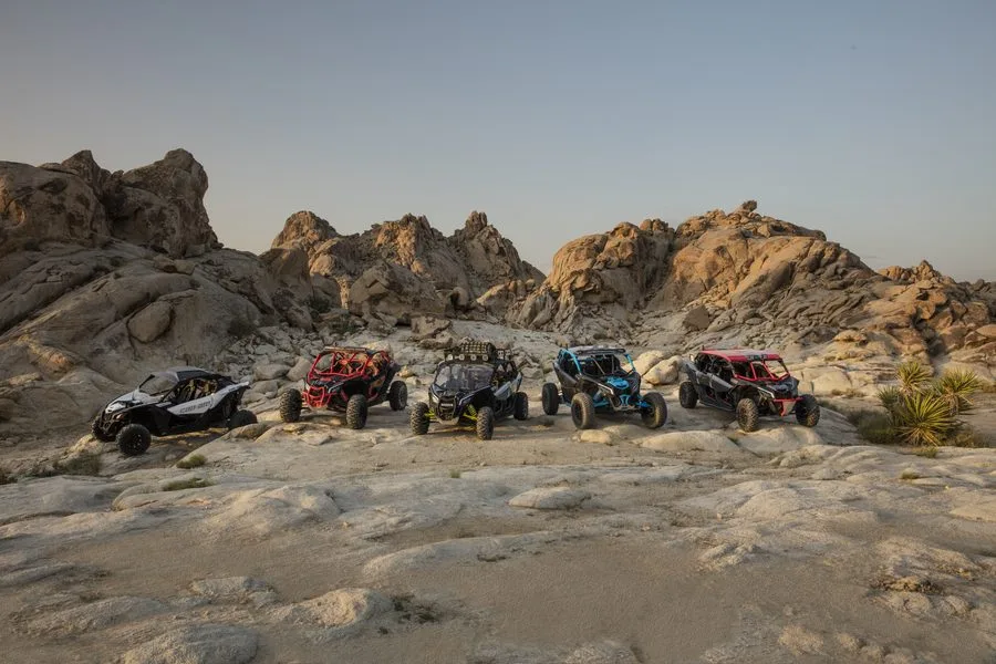
Most routes are open to machines of every size, but a few trails limit width to 50 or 66 inches. An ATV fits everywhere; a side-by-side covers most of the system, including Skyline Drive. Tell us your route, and we’ll match the machine to it.
Arapeen Trail System Map
Above 10,000 feet a machine without a turbo can lose a big chunk of its power, so climbs feel slow. Don’t lug it: drop to low gear on long climbs to keep the belt from slipping. At creek crossings, ease in at a walking pace so water doesn’t surge over the hood and into the air intake.
Know before you go
- Getting there. Pick up your machine at our Orem location, or have it waiting for you at the trailhead. You can add a guide to any rental when you book online, for as short or long a ride as you want.
- Weather. It’s much cooler on Skyline Drive than down in the valley, and summer storms build fast up high. Bring warm layers and rain gear.
- OHV course. Every driver completes Utah’s free online OHV education course before riding.
- Licenses. Drivers must be 18 or older with a valid driver’s license, and everyone 18 and older brings a driver’s license. Passengers can be any age with a parent or guardian’s OK.
- Ride smart. No jumping, no donuts, no fishtailing or power sliding. The faster you’re going, the slower you turn the wheel.
- Gear and water. Helmets and goggles come with every rental. Services are few and far between out here, so carry water, food and a layer.
- If something goes wrong. Save Trail Help to your phone before you go. It finds your GPS spot even with no bars and sends us your exact location with one text.
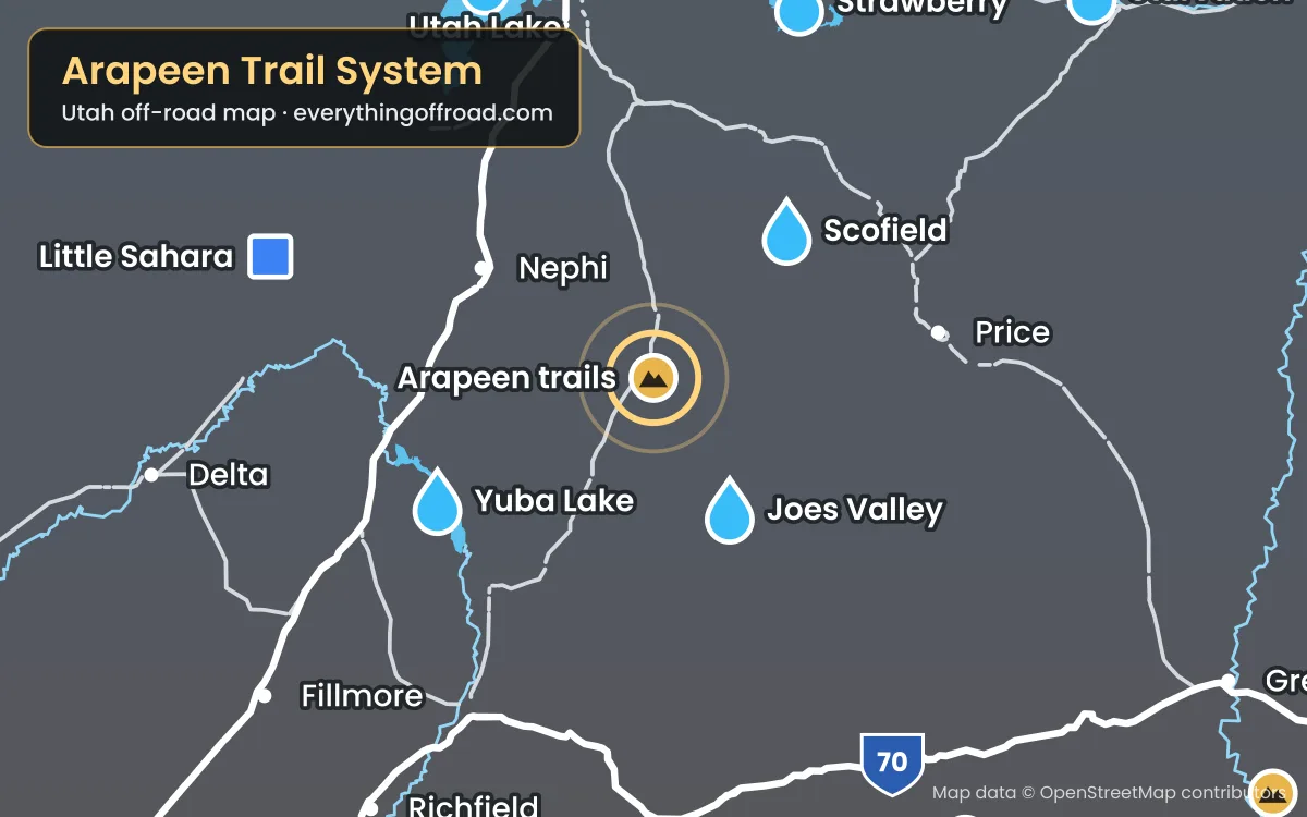
- Map. This area is pinned on our Utah-wide off-road map, along with the other riding areas and lakes we serve.
On the east side, Joes Valley and Scofield Reservoir make good lake stops. See all of our Utah destinations.
Ride the Arapeen trails
Booking online is the fastest way to check availability and lock in your machine. Call or text us for help picking a route or for current conditions.
Before you ride
Ride ready for the Arapeen trails
Two minutes now saves a lot of hassle out there: check the riding weather, run through the Ride Ready checklist and save the map and Trail Help to your phone before you lose signal.
Get Ride Ready
The OHV course, licenses, our riding rules and what to bring, in one quick checklist.
No signal out there?
Save the trail map and Trail Help to this phone. They'll open with zero bars, and Trail Help can still find your GPS spot.