
Mojave Desert Trail
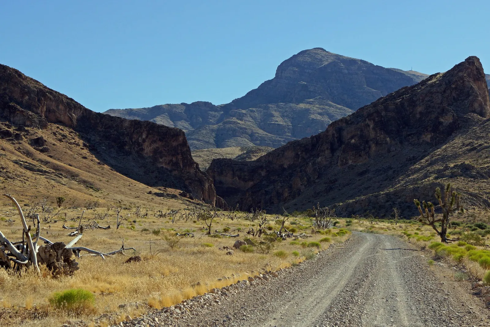
Utah has exactly one Joshua tree forest, and this road runs right through it. The Mojave Desert Joshua Tree Road crosses the Beaver Dam Mountains in the state’s southwest corner, among some of the most northerly Joshua trees there are, on easy dirt the whole way.
Utah’s Joshua trees
In 1966 this forest was named a National Natural Landmark, as the finest example of Joshua trees growing at the northern limit of where they can live. The land is now inside the Beaver Dam Wash National Conservation Area. Watch for bighorn sheep on the slopes and tortoises near the road. Fires have burned parts of the forest over the years, and some of the best surviving trees stand close to the road.
The road
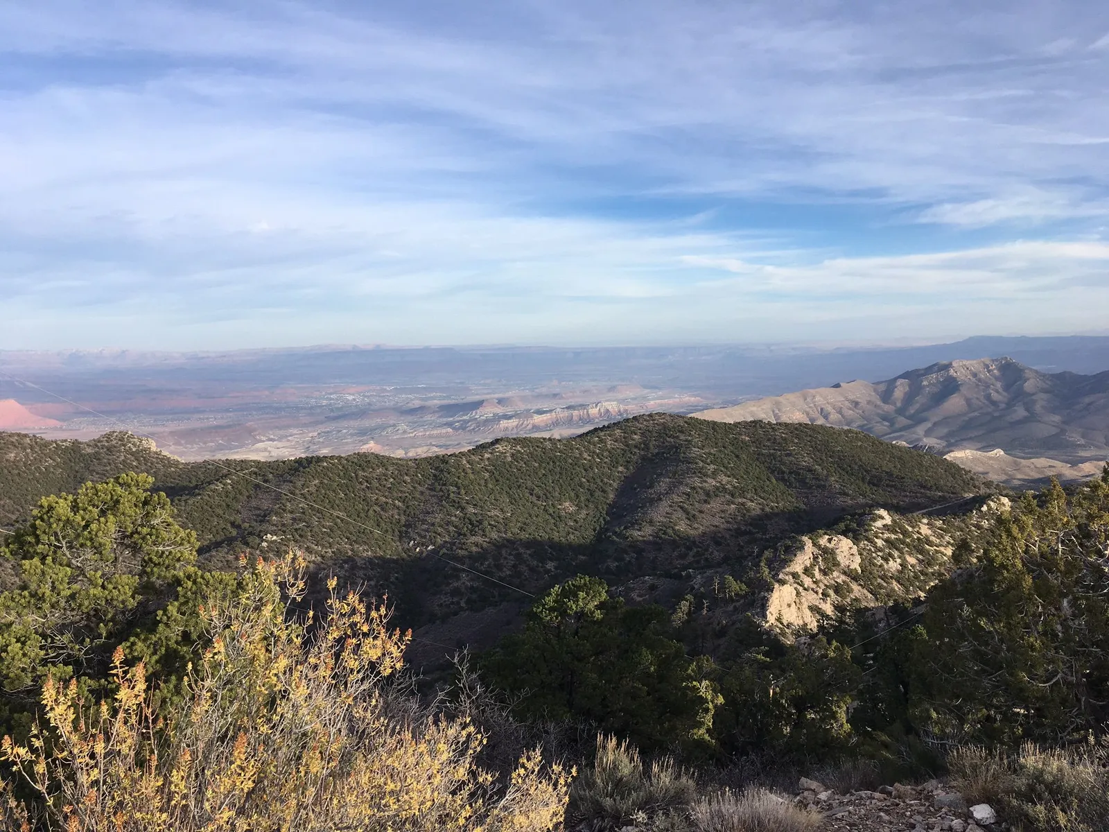
In 1990 the road became a Scenic Backway, an alternate way north and south besides Old Highway 91. It’s maintained dirt and gravel with a few rocky patches on the climb, easy in a side-by-side, with the rugged Beaver Dam Mountains all around. Not far away, Beaver Dam Wash holds Utah’s lowest elevation, around 2,000 feet.
Ratings are on the common 1 to 10 off-road scale.
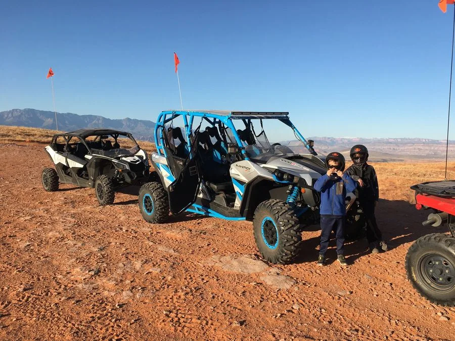
- Getting there. Our side-by-sides and ATVs are street legal, so you can drive them right from our location, with no trailer to tow. It’s a longer trip west of St. George on Old Highway 91 toward Shivwits, so plan a full day. Greater Zion also maps a Joshua tree loop of roughly 45 miles that begins in Gunlock.
- Best season. Fall through spring. Spring brings wildflowers and cactus blooms. Summer heat down here can pass 110 degrees.
In low-desert heat, keep an eye on the temperature gauge. Radiators clog with dust, mud and seeds, and a dirty radiator runs hot. If the warning comes on, stop facing into the wind and leave the engine idling so the fan keeps running. Shutting it off can make it hotter. Once it cools, check for anything blocking the radiator.
Know before you go
- OHV course. Every driver completes Utah’s free online OHV education course before riding.
- Stay on the route. Ride only on open roads and trails. Much of this country is protected desert, and rangers enforce it.
- Protected desert. You’re in a national conservation area. Don’t climb on, cut or take anything from the Joshua trees or cactus.
- Ride smart. No jumping, no donuts, no fishtailing or power sliding. On loose gravel, brake before the corner, not in it.
- Water and sun. Helmets and goggles come with every rental. There are no services out here, so carry water and food.
- Map. The Joshua Tree road is pinned on our Southern Utah off-road map, with what the ground is like and what to watch for.
A guide knows where the best trees are and where to stop for photos. You can add a guide to any rental when you book, for as short or long a ride as you want, or see our guided tours. More rides: Utah adventure guide.
Ride the Joshua Tree road
Booking online is the fastest way to check availability and lock in your machine. Call or text us for directions or current conditions.
Before you ride
Ride ready for the Mojave Desert Trail
Two minutes now saves a lot of hassle out there: check the riding weather, run through the Ride Ready checklist and save the map and Trail Help to your phone before you lose signal.
Get Ride Ready
The OHV course, licenses, our riding rules and what to bring, in one quick checklist.
No signal out there?
Save the trail map and Trail Help to this phone. They'll open with zero bars, and Trail Help can still find your GPS spot.