
Paiute ATV Trail
The Paiute ATV Trail loops through the mountains of central Utah, stitching together old forest roads and trails across the Fishlake National Forest and the BLM land in between. Utah.com puts the main loop at about 275 miles, and side trails drop into towns like Richfield, Marysvale, Salina and Circleville, so you can ride for days without repeating a mile.
Where to start
- Richfield. The biggest town on the trail, with fuel, food and places to stay.
- Marysvale. A small town in Piute County that locals call the heart of the trail, tucked under the Tushar Mountains.
- Salina. Right off I-70 on the north side of the system.
- Circleville, Junction and Koosharem. Quiet towns on the south and east sides, good for starting a loop away from the crowds.
- Beaver and Fillmore. Easy jumping-off points from I-15 on the west side of the system.
What the riding is like
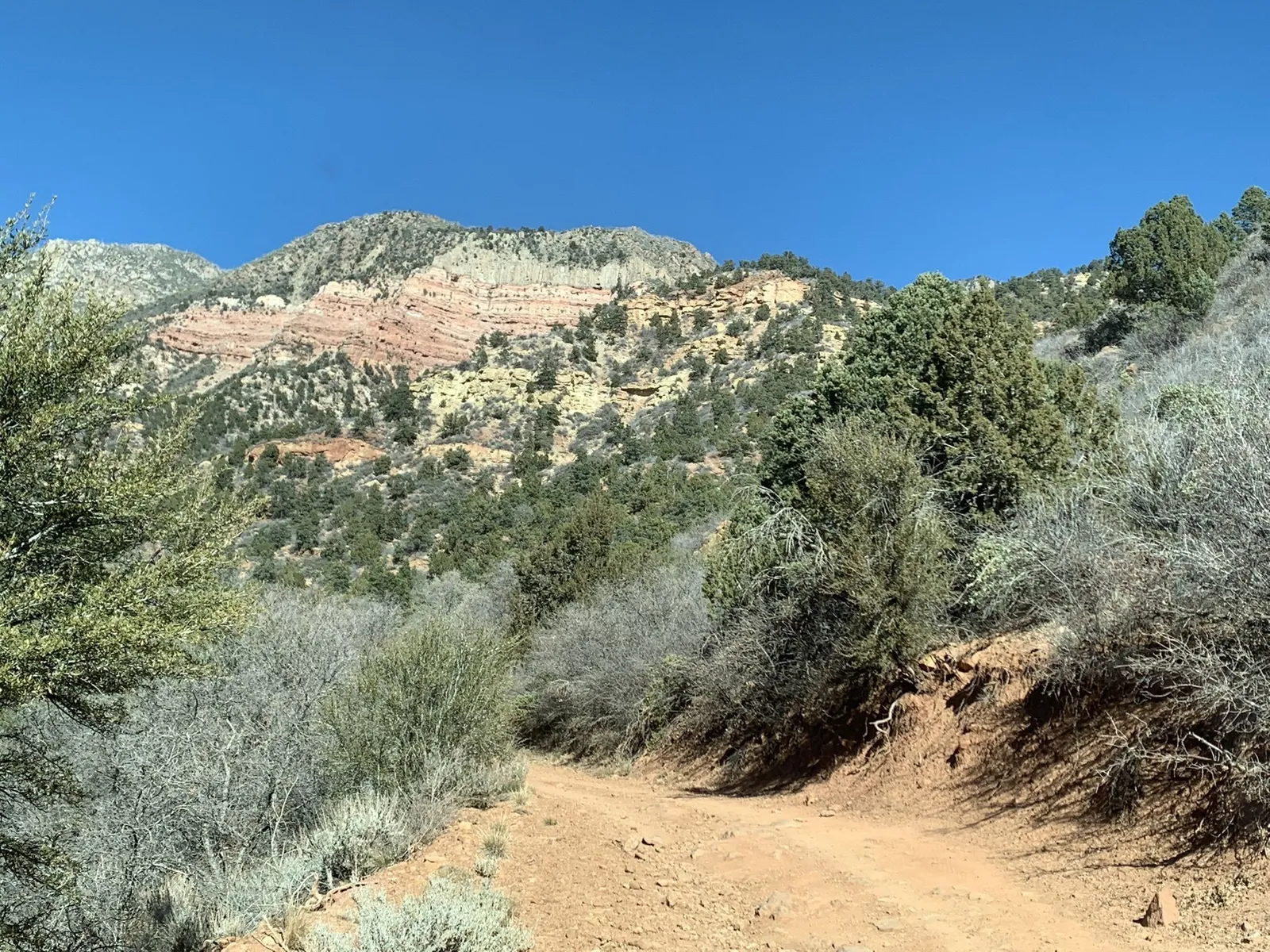
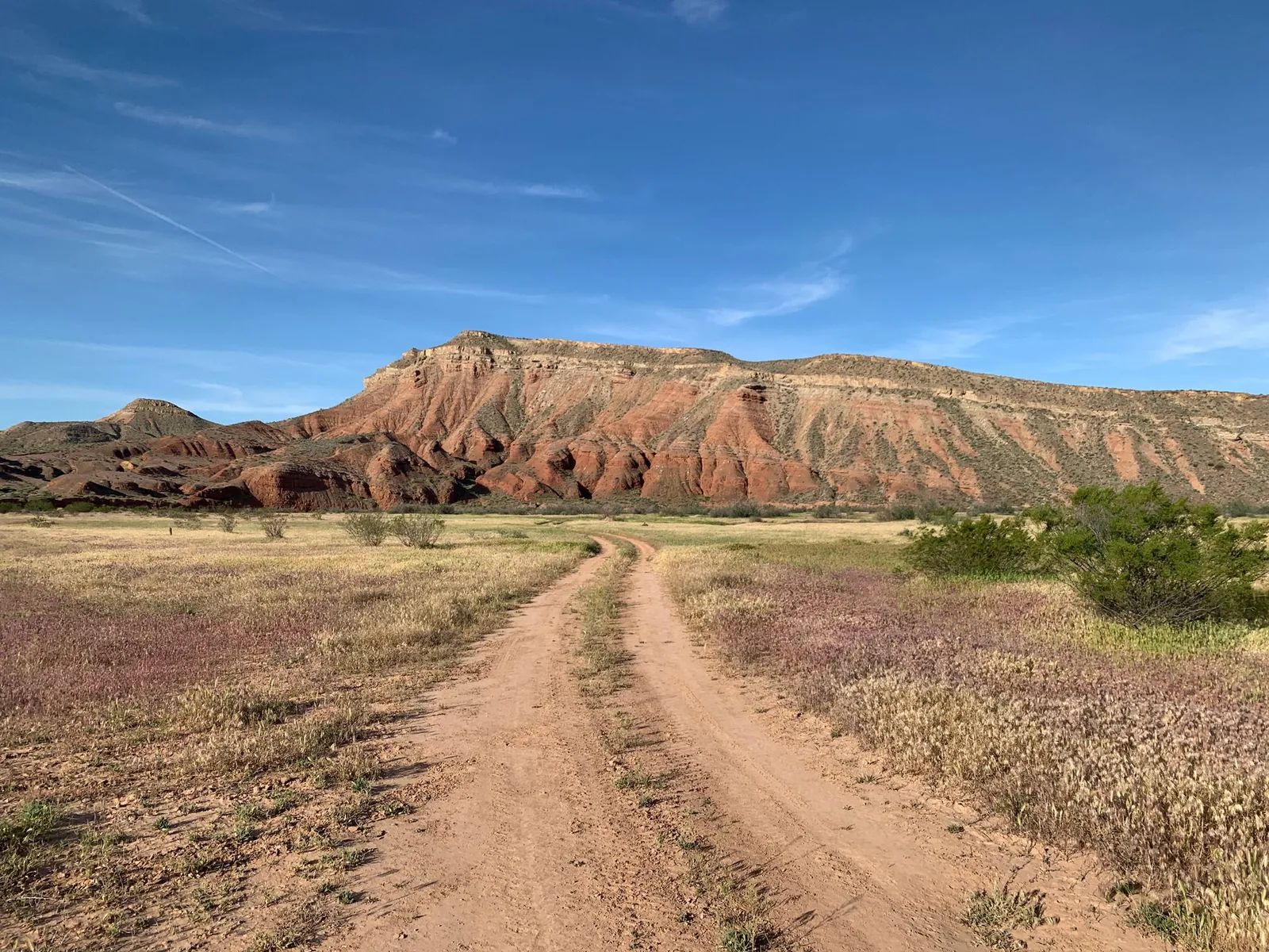
Utah.com notes that Dirt Wheels magazine rated the Paiute one of the 15 best trails in the country, and it describes the trail as relaxing, family-type riding. That fits most of it: graded forest roads and two-tracks that climb from sagebrush valleys into aspen and pine, with ridgeline views that run for miles. It isn’t a rock-crawling trail. The challenge is distance and elevation, so plan fuel stops in the towns along the loop and start early.
ATV or side-by-side?
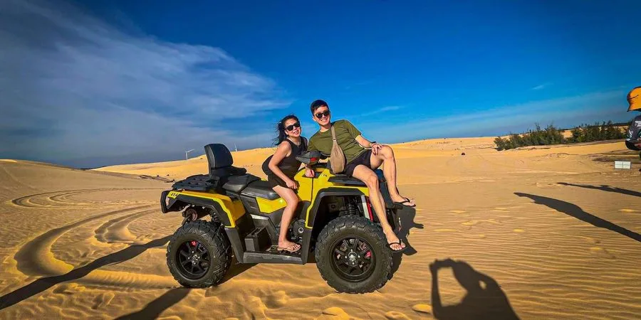
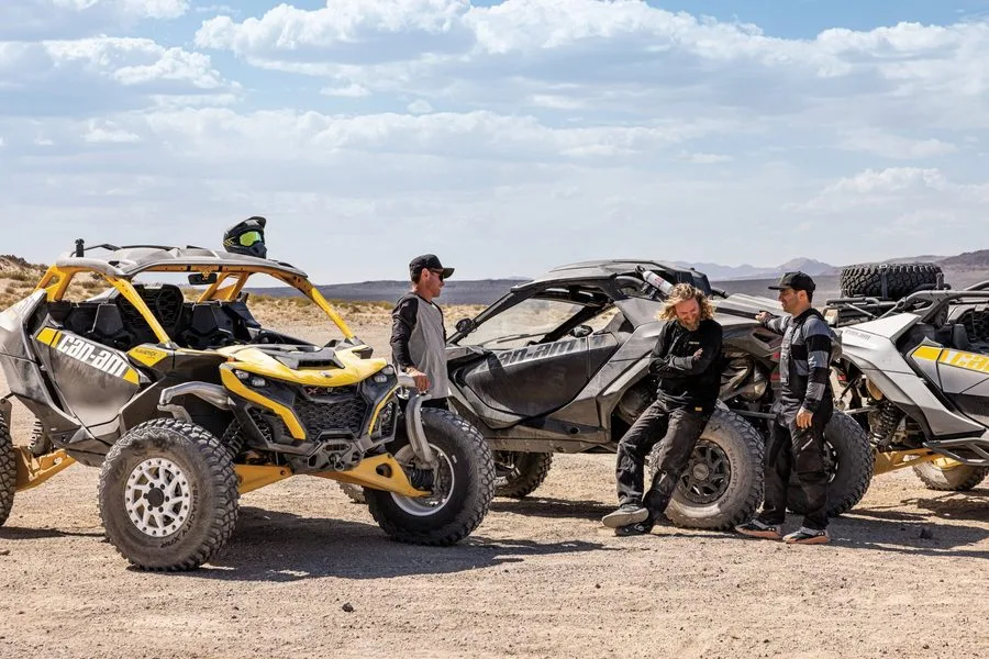
Millard County describes the Paiute’s trails as about four feet wide, mixed in with wider forest roads. An ATV fits everywhere, and side-by-sides handle the forest roads and much of the loop. Tell us which part of the loop you want to ride, and we’ll match the machine to the trail.
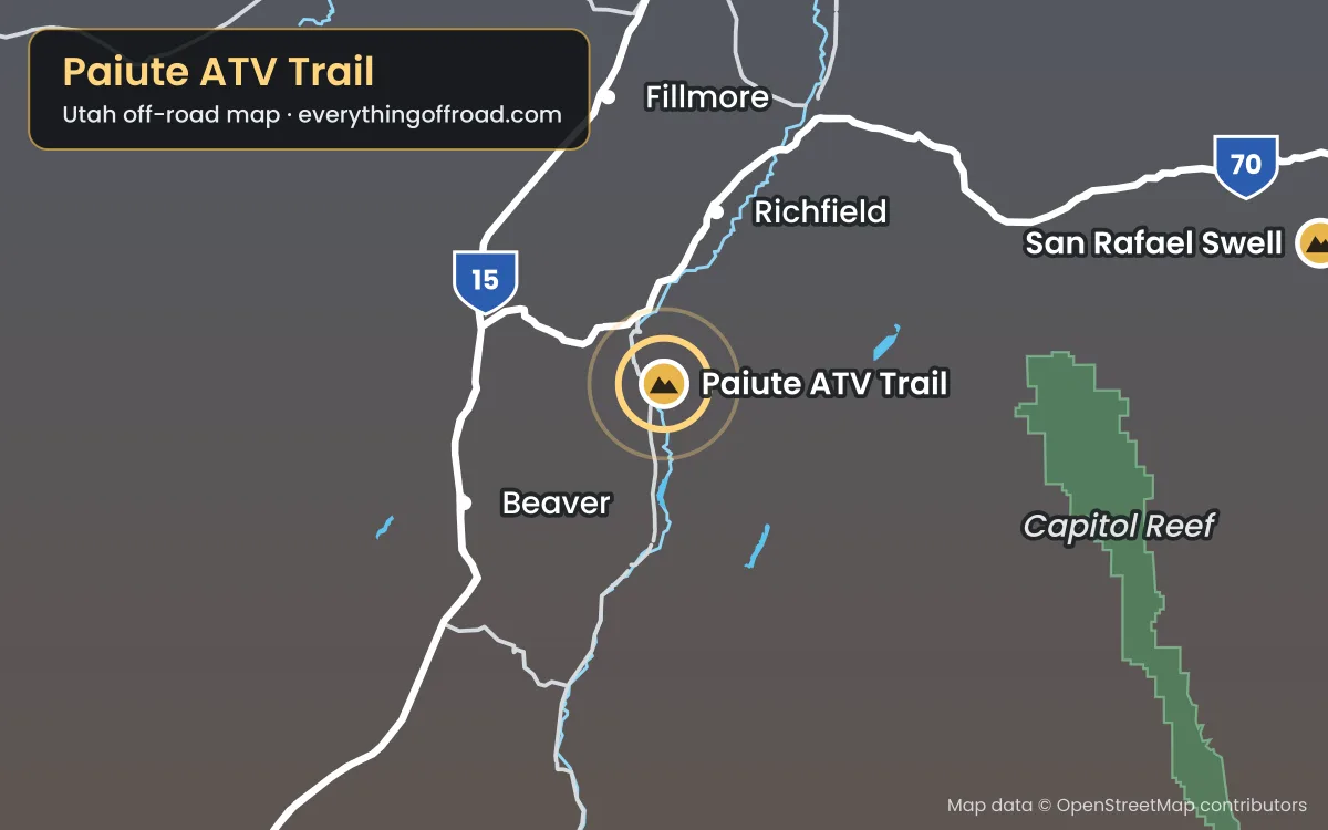
Paiute ATV Trail Map
Long days at elevation are hard on belts. Use low gear on long climbs so the engine stays in its happy range and the belt doesn’t slip and glaze, and check the air filter at lunch if the road has been dusty. If the machine starts to feel down on power up high, that’s the thin air, not something broken.
Know before you go
- Getting there. Pick up your machine at our Orem location, or have it waiting for you at the trailhead. You can add a guide to any rental when you book online, for as short or long a ride as you want.
- Weather. Afternoon thunderstorms build over the mountains in summer. Ride early, carry a rain layer and head down if lightning starts.
- Maps. National Geographic’s Trails Illustrated map #708 covers the whole Paiute, and the Paiute ATV Trail Committee publishes a map book that also covers the Gooseberry and Great Western trails.
- OHV course. Every driver completes Utah’s free online OHV education course before riding.
- Licenses. Drivers must be 18 or older with a valid driver’s license, and everyone 18 and older brings a driver’s license. Passengers can be any age with a parent or guardian’s OK.
- Ride smart. No jumping, no donuts, no fishtailing or power sliding. The faster you’re going, the slower you turn the wheel.
- Gear and water. Helmets and goggles come with every rental. Services are few and far between out here, so carry water, food and a layer.
- If something goes wrong. Save Trail Help to your phone before you go. It finds your GPS spot even with no bars and sends us your exact location with one text.
- Map. This area is pinned on our Utah-wide off-road map, along with the other riding areas and lakes we serve.
More central Utah riding: the Arapeen Trail System connects to the Paiute to the north, and Yuba Lake is close by for a day on the water. See all of our Utah destinations.
Ride the Paiute ATV Trail
Booking online is the fastest way to check availability and lock in your machine. Call or text us for help picking a route or for current conditions.
Before you ride
Ride ready for the Paiute Trail
Two minutes now saves a lot of hassle out there: check the riding weather, run through the Ride Ready checklist and save the map and Trail Help to your phone before you lose signal.
Get Ride Ready
The OHV course, licenses, our riding rules and what to bring, in one quick checklist.
No signal out there?
Save the trail map and Trail Help to this phone. They'll open with zero bars, and Trail Help can still find your GPS spot.